Hoyo de Pelempito access planning
How to Get to Hoyo de Pelempito: Road and Vehicle Guide
Plan the approach from Cabo Rojo toward Aceitillar and the Hoyo de Pelempito viewpoint. Confirm current road access, your vehicle and the return plan before leaving.
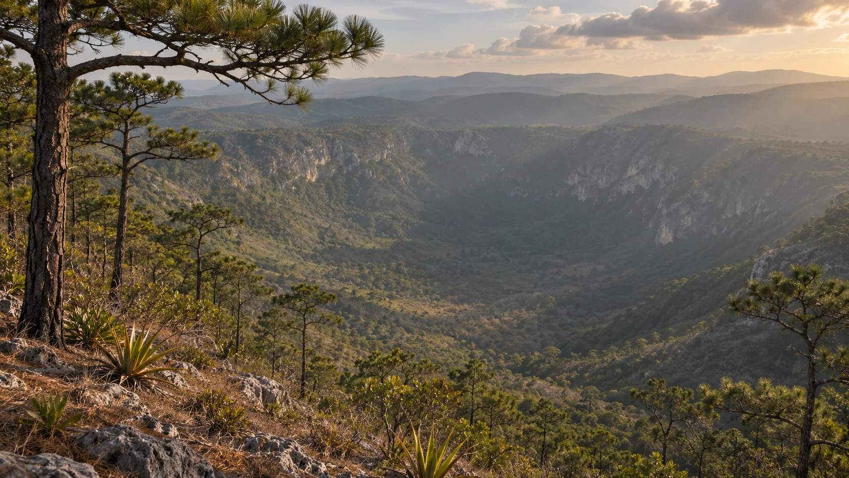
Aim for the viewpoint, not the valley floor
The usual visitor objective is the viewpoint and visitor center in the Hoyo de Pelempito sector of Sierra de Bahoruco National Park. A pin for the depression itself is not an arrival instruction. Use the Hoyo de Pelempito destination guide for context, then confirm where visitors are allowed to arrive on your date.
Ask for the exact visitor approach, entrance and stopping point. If coming from Pedernales town, a Cabo Rojo accommodation or the cruise terminal, give the actual starting address. Those starting points are not interchangeable.
The documented Cabo Rojo approach
The Dominican environment ministry describes access from Cruce de Cabo Rojo via Aceitillar toward the viewpoint. Use those names to check that a proposed route is approaching the visitor area from the intended side. A road or track shown on a map from another direction is not evidence that it is an appropriate public shortcut.
The documented route establishes where to ask about access, not pavement, a travel time, current clearance requirements or an open gate. Confirm every part of the approach and the return with a park contact or an operator who has checked current conditions.
Verify the road for the day and vehicle
Ask whether the route is currently open, what surface and grades to expect, and whether recent rain or work has affected any segment. Ask what type of vehicle is suitable now and where you would need to turn back. Do not infer that a standard car works, or that four-wheel drive alone makes the trip appropriate.
If renting, confirm that the intended roads are allowed under your agreement. Check the vehicle, fuel and your ability to drive the route before setting out. A navigation app does not evaluate your rental terms, road clearance or the conditions the driver will actually encounter.
Self-drive, private ride or guided excursion?
Use the getting around Cabo Rojo and Pedernales guide when comparing transport. Self-drive only makes sense if you can confirm the approach and have a suitable, permitted vehicle. If you prefer a driver, ask whether they will wait and how the return is arranged.
The Hoyo de Pelempito viewpoint tour is a separate option. Confirm the exact pickup, vehicle, expected route, what is included and what happens if access changes. Do not treat a tour listing as proof of access on your date.
Leave room for the mountain drive back
Ask for a current time estimate in both directions from your actual starting point, including any gates, checks, parking and a pause at the viewpoint. A map time does not allow for delays or reduced visibility. Choose a latest departure from the viewpoint and decide when you would turn around without reaching it.
Plan daylight for the return instead of using every possible minute uphill. If your group has a fixed onward connection or a ship deadline, ask for a realistic full return plan and a separate margin. Keeping a shorter outing is better than counting on the fastest drive back.
Confirm the last part on foot
Driving access and walking access are separate questions. Ask where you get out, how far the viewing area is from the stopping point and what the current path, grade, steps and resting options are like. If someone needs assistance, ask whether both directions suit them before booking.
A viewpoint stop is not the same as a longer walk or a descent into the depression. Read the Cabo Rojo and Pedernales hiking guide if you want more time on foot. Confirm permitted paths locally and stay within the described visitor area unless you have a separate verified plan.
Keep directions available offline
Save the confirmed route, meeting point and return contacts before departure. The mobile data and offline maps guide explains what an offline map can and cannot do. Download it on a reliable connection, and do not rely on live traffic or mobile reception to settle access questions.
Share your plan with someone who is not in the vehicle and agree what to do if the road is blocked or the group is delayed. Keep the driver or operator’s instructions handy. An offline line on a map is useful for orientation, not permission to proceed.
What to bring and what to confirm
Carry drinking water, sun and rain protection, and footwear suited to the confirmed walking surface. Consider a light layer for the mountain outing. Ask about current access hours, fees, toilets and other facilities; this guide does not confirm their availability or prices on your date.
Cloud or changing light can affect the view even when access is possible. The cover is an AI-created illustration inspired by the area, not evidence of current visibility, road conditions or visitor facilities. Keep an alternative plan if the viewpoint is not worthwhile that day.
Decide whether to set out
Go only if you have a confirmed route, suitable transport and a return plan. If the approach is uncertain or your arrival window is too short, choose a different visit or reschedule. Avoid switching to an unfamiliar route simply because another track appears on the map.
If using a driver, agree what happens if conditions change before departure or on the way. Ask how waiting time, an alternative stop or a decision to turn back would affect your booking. An explicit fallback is more useful than a promise of perfect conditions.
What to ask in one message
Give your date, accommodation or meeting point, group size, vehicle if self-driving, and any walking or return constraints. Ask which entrance and route are usable, what vehicle is appropriate, where the vehicle stops, what the walk involves and when you would return.
Use the contact page if you want to compare arranging transport with a guided viewpoint visit. Treat a request as a booking only once the provider confirms the specific plan. Check current conditions again before departure.
Confirm your route to Hoyo de Pelempito
Check the approach, vehicle, walking section and return before setting out for the viewpoint.
Explore local tours