Regional orientation and nature travel
Jaragua–Bahoruco–Enriquillo: A Visitor’s Guide to Beaches, Mountains and the Lake
Put the Dominican southwest’s beaches, lagoon, mountain viewpoint and inland lake in context. Use the regional map to distinguish protected areas and choose a workable sequence of visits.
One biosphere reserve, several different journeys
Jaragua–Bahoruco–Enriquillo is a useful name to understand before a nature holiday in Cabo Rojo and Pedernales, Dominican Republic. It connects the coast, mountain environments and an inland lake within a wider conservation landscape. It is not one attraction with a single entrance. A beach visit, lagoon boat trip and mountain viewpoint each involve a different journey; the inland lake adds another geographical area to your plans.
UNESCO records the Dominican reserve’s designation in 2002. Grupo Jaragua identifies its core national parks as Jaragua, Sierra de Bahoruco, and Lago Enriquillo and Isla Cabritos. Think of the reserve as the regional framework and of the named visitor places as your itinerary. Its ecological connection with La Selle in Haiti is not a tourist crossing route. This guide and its map concern planning on the Dominican side.
Read the map before choosing your days
Start with Pedernales town near the western end of the Dominican southwest coast. Cabo Rojo and Las Cuevas lie farther along the coastal visiting area toward Bahía de las Águilas. Oviedo and its lagoon lie to the east of that coastal base. Hoyo de Pelempito is inland in the mountain landscape; Lago Enriquillo lies farther north, beyond the coastal cluster. The map below positions these references without turning proximity into a promise of a quick journey.
Use the numbered locations with the place list underneath. They identify towns or attractions, not exact pickup gates, legal access points or currently open roads. There are deliberately no connecting route lines or inferred park boundaries. In particular, do not draw a shortcut across Sierra de Bahoruco to reach the lake. A regional orientation map helps choose your priorities; a confirmed road itinerary is a separate planning step.
The southwest at a glance
Numbered location references: coast, mountains and inland lake.
Places on the map
Orientation only. Dots locate places approximately; no roads, park boundaries or access permissions are shown. The lake outline is generalized, not a current water-level observation.
Map sources: Natural Earth 1:10m · © OpenStreetMap contributors · Grupo Jaragua
Jaragua: one park, distinct coastal and lagoon visits
Jaragua National Park brings together coastal, marine and terrestrial environments. Bahía de las Águilas is the beach destination associated with the Las Cuevas boat departure area. Laguna de Oviedo is a separate lagoon visit approached near Oviedo. Neither is an interchangeable entrance to every part of the park, and booking one does not include the other.
Choose the beach for a day centred on the shore and sea; choose the lagoon for its landscape and wildlife observation. The Bahía de las Águilas boat tour and Laguna de Oviedo wildlife tour show the different advertised formats. A dry-forest outing adds another kind of experience. The park’s variety is a reason to choose carefully, rather than treating its full attraction list as one day’s programme.
Bahoruco: a mountain outing with its own approach
The Sierra de Bahoruco landscape gives a visit from the Pedernales coast a different direction and character. Hoyo de Pelempito is a particular mountain-viewpoint destination, not a name for the whole national park. The viewpoint excursion focuses on the ascent, scenery and lookout. A small regional map should not conceal the mountain-road component of the day.
A viewpoint outing also differs from specialist birdwatching or a longer hike. Match the actual route and guiding to your interest before adding those activities. Use the Sierra de Bahoruco birdwatching guide if birds are the main objective. Keep a mountain day separate from a beach boat booking when the combined proposal would sacrifice time at either destination. Coastal sunshine does not predict clear views or suitable access in the mountains.
Enriquillo: the inland extension, not the next beach stop
Lago Enriquillo is an inland lake in Independencia and Bahoruco provinces, not Laguna de Oviedo and not the coastal town named Enriquillo. Its place within the same biosphere reserve does not make it part of a standard Cabo Rojo coastal excursion. La Descubierta is a useful reference near the northern side of the lake, but a town marker is not a boat reservation or a precise visitor meeting point.
The Lago Enriquillo planning guide explains the separate decisions about shore visits, boat operation and Isla Cabritos. Consider the lake when you have time for an additional inland journey or can build it into a longer southwest road trip. An overnight nearer your intended lake access can be worth comparing with a return to the coast. This article does not establish an operating lake excursion or a combined park ticket.
Choose your base from the complete itinerary
Pedernales town, Cabo Rojo accommodation and Las Cuevas are different starting points. A coastal room may suit a beach-focused stay, while a town base may make meals and supplies easier to organise. Compare actual property locations and services in the accommodation-area guide and hotel directory. A shorter approach to one attraction does not make a property closest to everything.
Write your accommodation address beside each intended outing. Add the arrival and onward journeys before choosing where to sleep. The getting-around guide distinguishes a rental car, an excursion pickup and a separately arranged transfer. Staying in one coastal base can reduce packing and check-in changes; moving toward the lake may reduce a long return journey. Compare the complete sequence rather than choosing solely from a straight-line map distance.
Build contrast into the days you actually have
With one excursion day, choose a named experience: Bahía de las Águilas, Oviedo or a mountain-viewpoint visit. With two suitable days, a coastal or lagoon outing and a mountain day provide contrasting landscapes. With more time, decide whether a second Jaragua visit or the separate Enriquillo extension better matches your interests. These are planning patterns, not a package timetable or a promise that all departures operate on your dates.
Count full activity days rather than hotel nights. A late arrival and an early onward departure can leave much less sightseeing time than the accommodation booking suggests. Use the three-day itinerary for an existing coastal example, then assess extra days separately. Cruise passengers should start with their fixed return deadline and the actual port meeting arrangements, rather than applying an overnight visitor’s regional itinerary to a few hours ashore.
Compare experiences, access and useful visiting time
For each day, write down the departure address, transport segments, named visiting area, time there and return. A beach day may include road travel and a boat; a lagoon day has its own boarding and shore arrangements; a mountain day includes the ascent and descent. Ask for walking surfaces and distances where these affect your group. The total excursion duration is not the time you spend at the attraction.
Then compare what the price covers: transport, guiding, park access, any boat service, food and equipment. A UNESCO designation does not establish a shared entrance fee, a guide service or permission to explore every area. Request current opening and access information for the specific place; this regional guide quotes no unverified current fees, road times or opening hours. If an activity is unavailable, assess the confirmed alternative on its own merits.
Understand the UNESCO name and respect the landscape
A biosphere reserve designation and World Heritage inscription are different recognitions. Jaragua appears on the UNESCO World Heritage Tentative List; that listing should not be presented as an inscribed World Heritage property. The biosphere-reserve framework also concerns people living and working in the region. Use local services responsibly and learn about the places beyond a checklist of scenery or wildlife photographs.
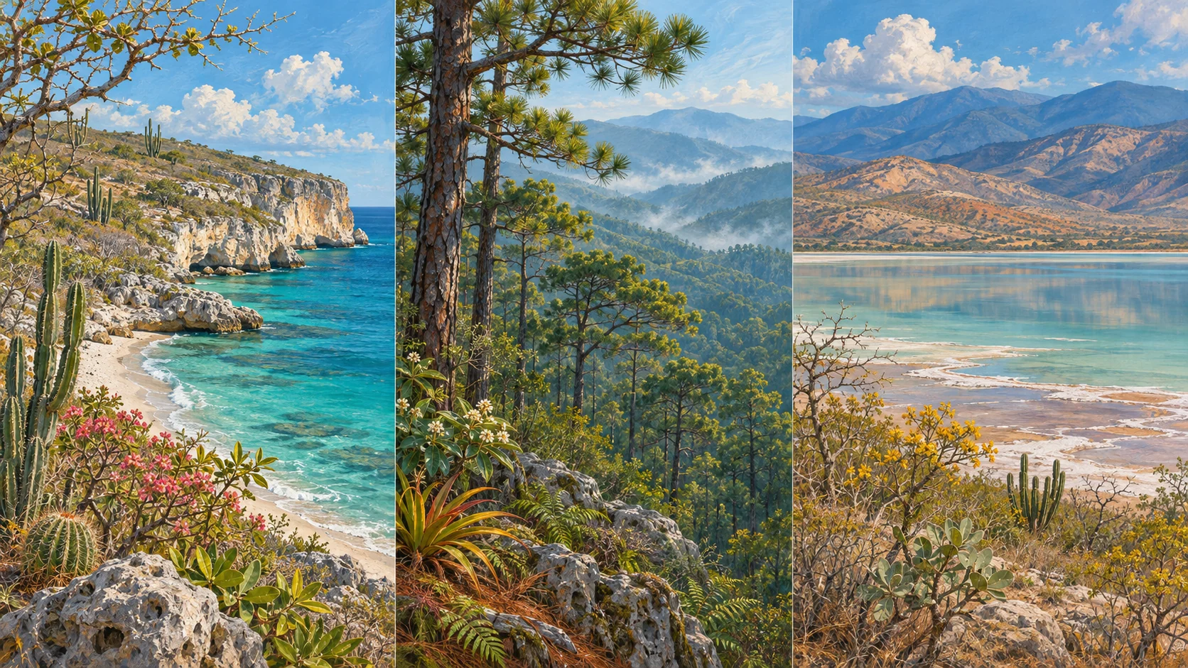
Stay within permitted visitor areas, leave natural objects in place and observe wildlife without feeding or pursuing it. Different habitats reward different ways of looking: time on the shore, quiet observation at a lagoon, and attention to mountain vegetation. The cover is a unique AI-generated landscape illustration, not a documentary photograph of one viewpoint. The separate numbered map is a geographic orientation aid, not evidence of trail access or a live navigation service.
Sources and the next planning step
The regional framework was checked against UNESCO’s biosphere-reserve profile, Grupo Jaragua’s reserve overview and the UNESCO Jaragua Tentative List entry on November 5, 2026. These describe geography and conservation status; they are not real-time operating notices. The map’s location references and cartographic attribution are recorded below it.
Once you have chosen your priority areas, send your dates, exact base, group size and main interests through the contact page. State any ship or onward-travel deadline and walking or boarding requirements. Request a specific proposal for each outing rather than asking for a tour of the entire reserve. Use the linked destination guides to learn about the places and the tour pages to compare the services actually offered.
Choose the nature days that fit your southwest trip
Compare the existing beach, lagoon and mountain excursions, then share your dates and starting point to discuss a clearly described itinerary.
Explore local excursions